Météo-France Puts 71 Departments on Yellow Alert for Storms
Météo-France has 71 departments on yellow alert for storms and gusts near 100 km/h. Storms reach Île-de-France in the evening, as marches fill Paris.
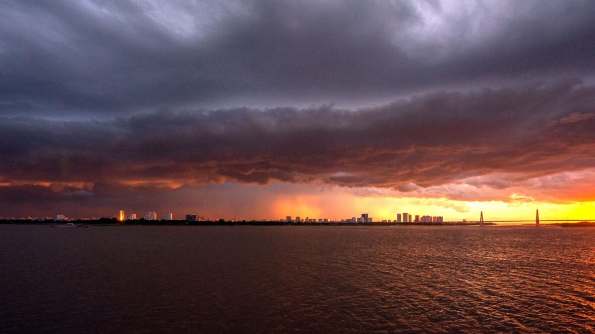
Météo-France (the national weather service) has placed 71 départements (French administrative areas) under yellow vigilance on Tuesday, mainly for thunderstorms and a strong gust of wind. Storms are expected to reach Île-de-France in the course of the evening.
That timing matters in the capital. According to the weather site Tameteo, hundreds of thousands of demonstrators are expected in Paris streets on the same day, and the region’s yellow alert could still be raised to orange at the last minute.
What Météo-France expects in the north-west and Paris region
Showers with thunder, locally heavy, are forecast for the north-west of the country this afternoon and tonight. Gusts could reach 90 to 100 km/h in places, including inland. The storms are due to move onto the Channel coast and affect Brittany, Normandy and Hauts-de-France, and they may bring sleet along with the wind.
The same system then moves toward Paris and its surroundings. Île-de-France is on yellow vigilance, which is the second-lowest level of the colour scale, and Tameteo notes that a switch to orange remains possible late in the day.
Which areas are covered
The yellow alert covers all départements in a large northern half of France. The Alpine départements and both Corsican départements are included as well. Across these areas Météo-France is tracking several hazards: violent winds, heavy rain, thunderstorms, the risk of avalanches and the risk of waves and coastal flooding, particularly in Corse-du-Sud.
In the south, a cold front that brought heavy rain overnight is still affecting the area between Nouvelle-Aquitaine, the Massif central and the Alps. Rainfall may be more sustained on the western foothills of the Massif central and in the Alps. Heavy snowfall is also forecast in the Alps, from 2 300 metres in the Northern Alps and from 2 400 metres in the Southern Alps.
What it means for people in Paris
Residents and visitors in the Paris region face a weather alert and large street gatherings in the same evening. Gusts of up to 100 km/h are possible in the north-west of the country, and the forecast says the storms may bring similar conditions inland as they travel east. Anyone planning to be outdoors in Île-de-France after nightfall may meet rain, thunder and strong wind while crowds fill the streets.
The vigilance level can change during the day. Météo-France publishes its colour-coded map and bulletins on its own website, and the Tameteo report says the latest forecasts are updated for Tuesday.
What to watch next
The main point to follow is whether Île-de-France is moved from yellow to orange before the storms arrive. The agency has not ruled it out. Further changes to the map for the Alps and Corsica are also possible, given the snow, avalanche and coastal wave risks listed for those areas.
Source: tameteo.com